Georgia and Tennessee: 200 Years of a Tennessee River Toss-up

Read November 28th, 2009 update here.
Could the fourth time be the charm for Georgia’s push to re-negotiate its border with Tennessee?
In February 2008, the Georgia General Assembly passed a bill to move the Georgia-Tennessee border one mile north—the fourth attempt since the line was established in 1818. The latitudinal change would mean a portion of the Tennessee River would be included within Georgia’s boundary— providing a viable source of drinking water for 3.5 million residents of Atlanta.
According to The New York Times, Congress set the 35th parallel as Tennessee’s southern border in 1796. But Georgia claims that due to equipment failures the actual line drawn up by surveyors in 1818 was located one mile south of the projected latitude. Although Tennessee enacted these coordinates into its state law, Georgia never endorsed the border and attempted in the 1880’s, 1940’s, and again in the 1970’s to reconstitute the “correct” border.
The next step in this borderline issue would be for Georgia Governor Sonny Perdue to negotiate with Tennessee Governor Phil Bredesen, reported The Christian Science Monitor. However, most government officials agree that the issue will end up in the Supreme Court.
Moving the border would make 50 square miles of Tennessee now a part of Georgia, including a bend of the Tennessee River near Nickajack Cave in Marion County.
As a symbolic gesture, just one month after Judge Paul Magnuson’s July 2009 ruling against Georgia in the water allocation to over 3.5 million Atlanta residents, the Chattanooga Times Free Press reported that the Camak Stone, serving as the Alabama-Georgia-Tennessee border marker, was stolen. The Judge’s ruling was followed by Georgia state Senator Judson Hill’s renewed interest in the Tennessee border issue.
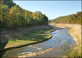
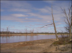
The bill to move the border was passed by both branches of Georgia’s legislature in February 2008, a time when thirsty Georgian cities were suffering extreme drought conditions. In September 2009, however, the Tennessee River Valley experienced record-breaking rainfall and flooding that closed schools, evicted hundreds and killed nine people on both sides of the disputed state line.
–Lt. Governor Casey Cagle
More than seven inches of rain fell within 48 hours, according to the Associated Content Society.
Emergency workers used boats to evacuate several homes near the flooded waters of Spring Creek in East Ridge, Tennessee. In Northern Georgia, the levees of the Chattanooga River broke, forcing hundreds of residents from their homes.
Experiencing 20 inches of rain in just three days, hundreds of people were evacuated from Trion in southeastern Georgia near Atlanta, while eight people died. Georgian officials estimate more than $250 million in damages were incurred. The US Federal Emergency Management Agency spent over $40 million in the first two weeks to assist Georgia’s recooperation.
Last week Georgia Lt. Governor Casey Cagle suggested new infrastructure that would seize rainfall opportunities, reported The Times Herald of Georgia. Georgia consumes about three trillion gallons of water annually, but the Cagle argues the state could make use of the 50 trillion gallons of rainfall it receives each year (50 inches).
“There is no question we have to build more reservoirs. It has to happen. So we have to negotiate in good faith with our neighbors,” Cagle said. Georgia needs to “capture more of the water and control it in a useful way” and “negotiate, litigate and legislate. We’ve got to build those future reservoirs.”
Listen to more on this issue reported by National Public Radio.
Read more: here, here, here, here, here, and here.
is a Traverse City-based assistant editor for Circle of Blue. She specializes in data visualization.
Interests: Latin America, Social Media, Science, Health, Indigenous Peoples


Leave a Reply
Want to join the discussion?Feel free to contribute!