Map: Kansas and Texas Fresh Groundwater Use (1985-2005)
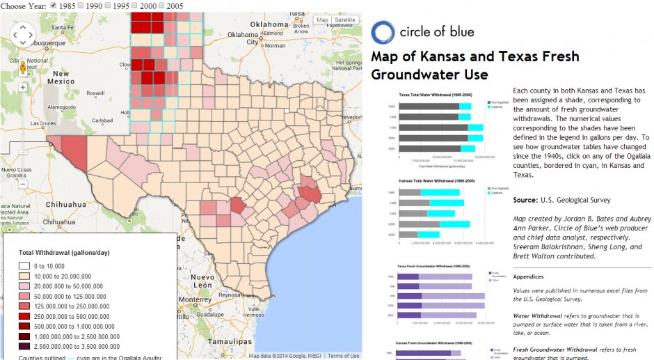
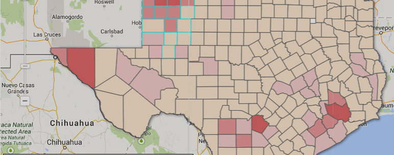
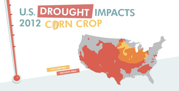
Infographic: Fresh groundwater withdrawals in Kansas and Texas from 1985 to 2005, as well as information on groundwater levels in the Ogallala Aquifer. Map © Jordan B. Bates and Aubrey Ann Parker / Circle of Blue. Click image to enlarge.
Click image to launch the interactive Google Fusion Tables map.
This map was created by Jordan B. Bates and Aubrey Ann Parker, Circle of Blue’s web producer and chief data analyst, respectively. Contributors included Brett Walton of Circle of Blue, with assistance from Sreeram Balakrishnan of Google Fusion Tables. Additional help from Sheng Long and Robert Queen, students with the Columbia Water Center in New York City. Columbia interns were overseen by Upmanu Lall and Margo Weiss. Reach Circle of Blue’s data team at circleofblue.org/contact and circleofblue.org/contact.
Choke Point: Index is produced in collaboration with Google Research, Qlikview, and the Columbia Water Center, with financial support from the Rockefeller Foundation.
is a Traverse City-based assistant editor for Circle of Blue. She specializes in data visualization.
Interests: Latin America, Social Media, Science, Health, Indigenous Peoples



Leave a Reply
Want to join the discussion?Feel free to contribute!