Tundra Trekking: A Tale of Rivers and Ravenous Thermokarst
On the tundra, climate change is just one careless step away.
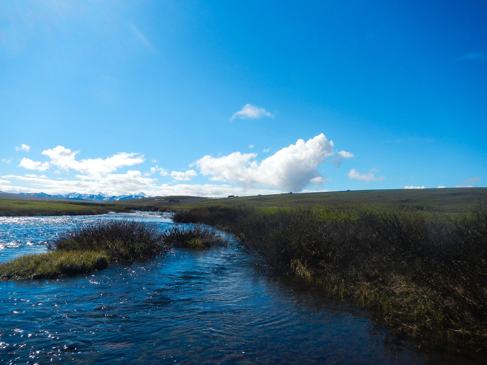
I awoke staring up at the stretched plastic ceiling and wooden skeleton of our weatherized tent; an older model, its timber framing is the inspiration for the somewhat startling name “splinterhaven” posted outside the door. The air inside was still and cold, and I had to steal myself to hop out of the warmth of my sleeping bag cocoon. Then it was a race to pull on four layers of spandex, wool and fleece, followed by boots and jacket and hat and gloves—my Arctic skin. Stepping outside, it was worth the momentary discomfort. The sun had finally made a full-fledged appearance, revealing an expanse of green tundra stretching to a sharp line of black, snowcapped mountains.
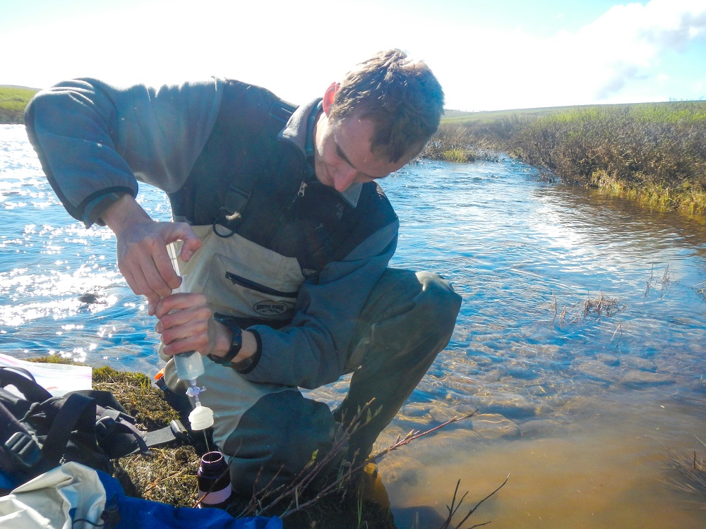
I met up with Karin Klein—my roommate and co-fellow, who writes for the Los Angeles Times—at breakfast. Over scones and potato pancakes, we spoke with Josh Benes, a research assistant at the University of Vermont who is working on a long-term water quality monitoring project in several rivers near Toolik. The project measures nutrients like phosphorus and ammonium, as well as chlorophyll content, which indicates how much algae is growing in the water. In one portion of the Kuparuk River, the research team has also been intentionally adding phosphorus—a nutrient used in fertilizer—to see if it makes more algae grow.
To see how this all works, Josh and Dan Ackerman, who is also working on the project, let us tag along for their morning field work collecting water samples from the Kuparuk. Getting there involved a short, mildly bumpy ride along the Dalton Highway in a seasoned ford pickup called “Turtle”. Armed with bug shirts and bear spray, we headed out for the first time across open tundra.
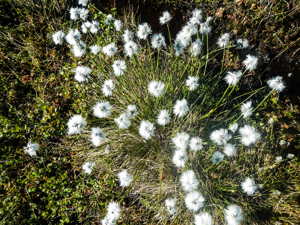
Despite being an “Arctic desert”—the tundra receives very little precipitation—the ground is spongy and puddles are common. In some places, it feels like walking on a trampoline, albeit one comprised of mounds the size of bowling balls. These mounds, or tussocks, are formed by cottongrass, but host a surprising array of wildflowers, mosses and dwarf species of birch and willow. Beneath this spongy layer—called the active layer because it freezes and thaws each year—there is a layer of permafrost that, as its name suggest, remains perpetually frozen.
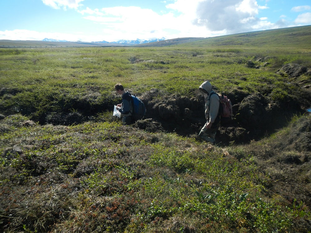
As climate change warms the Arctic, however, areas of permafrost are thawing. In some places, this causes the ground to subside and release sediment and nutrients into nearby streams—a phenomenon known as a thermokarst. Walking along the Kuparuk River, we could see these thermokarsts as slumping depressions in the tundra that could reach a meter or more in depth. Mats of tussock hung, deflated, at the edges, and fissures radiated outward. A misstep sank me up above my knee in tundra while walking past one such fissure.
While the water quality monitoring in the Kuparuk River does not directly address emerging trends like thermokarst formation, it is part of a Long Term Ecological Research (LTER) project comprised of several different teams, including a stream team, a terrestrial team and a land-water interaction team. Data from the stream team, for example, could be used by researchers looking at how features like thermokarsts affect nutrient levels in the water. Together, the pieces of the LTER can create a picture of how the Arctic environment has changed over time, and help scientists predict how it might change in the future.
–Codi Kozacek, Reporter
My stay at Toolik is funded by the Logan Science Journalism Program at the Marine Biological Laboratory in Woods Hole.
A news correspondent for Circle of Blue based out of Hawaii. She writes The Stream, Circle of Blue’s daily digest of international water news trends. Her interests include food security, ecology and the Great Lakes.
Contact Codi Kozacek




Leave a Reply
Want to join the discussion?Feel free to contribute!