The Forgotten Great Lake
On Lake Ontario and the St. Lawrence River, Circle of Blue reporter Codi Kozacek found that much is happening, but not many are looking.
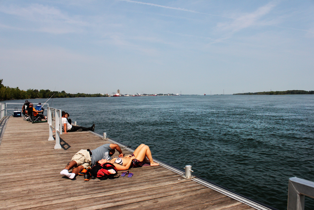
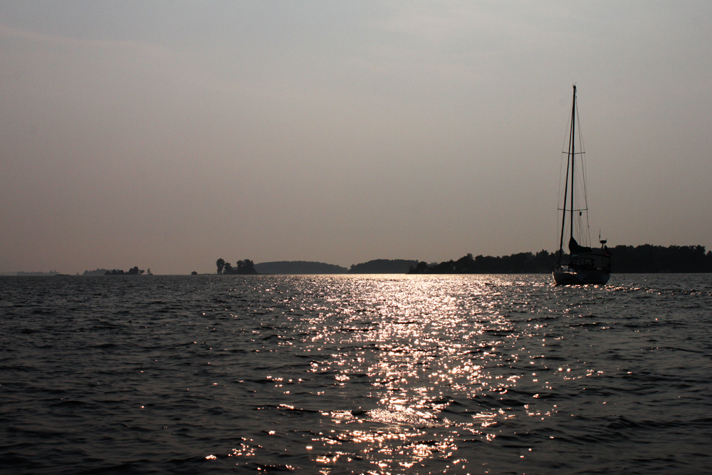
MONTREAL— Along the eastern shore of this island city, the water of the St. Lawrence River runs deep, clear, and fast. Montreal is more than 1,500 kilometers (1,000 miles) from the westernmost reaches of Lake Superior, but the river here feels undeniably of the Great Lakes, of the northlands, of a system so vast that it holds a fifth of the world’s fresh surface water.
I grew up a stone’s throw from Lake Michigan, drove many times across the green expanse of the Mackinac Bridge, passed the southern shore of Lake Erie every fall on my way to college, and ate my childhood breakfasts across from a large photograph of Niagara Falls. But, beyond a thin blue line on a map, I never imagined where much of that water eventually goes.
Certainly, I never pictured the St. Lawrence River as a waterway big enough to hold islands, cities, and strings of container ships so massive they make luxury yachts look like bathtub toys. In fact, 318 billion cubic meters of water (11.2 trillion cubic feet) flow down the St. Lawrence in an average year. Of the rivers in North America, only the Mississippi and the Mackenzie send more water to the sea.
I spent the last week traveling the river’s upper reaches and along the southern shore of Lake Ontario, where the system is on the edge of a dynamic change. Lake Ontario and the St. Lawrence River are the only portion of the Great Lakes where humans play a significant role in water-level regulation, but for the past 50 years those regulations have done little to take the upper river’s wetlands and fisheries into account. Last year, the international body that oversees waterways shared by Canada and the United States proposed a new regulation plan, Plan 2014, that would reintroduce the environment as a primary stakeholder—a move both supporters and critics say will create winners and losers.
I met with shipping authorities, engineers who control water levels, and riverkeepers on both sides of the border. From these discussions, I learned that my ignorance of the eastern corner of the Great Lakes system is not uncommon—at least in the United States, where much more attention is lavished on the centers of industry and tourism along Lake Erie, Lake Huron, and Lake Michigan.
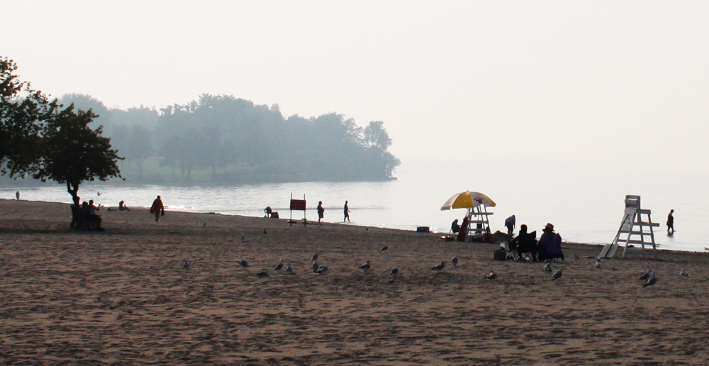
We should pay attention. Lake Ontario and the St. Lawrence River support an array of natural, recreational, and commercial bounty. Lake Saint-Pierre, formed by the St. Lawrence downstream of Montreal, is a Ramsar-listed wetland site where thousands of migrating water birds rest on their transcontinental journey. Boaters and anglers value the south shore of Lake Ontario and the upper reaches of the St. Lawrence River for its recreation opportunities. The Port of Montreal last year facilitated the shipping of more than 30 million metric tons of cargo. Hydropower dams along the river produce enough electricity to supply approximately 2 million homes.
Moreover, the proposed change in water level regulation provides a look at the inner workings of one of the world’s most peaceful and effective transboundary water management systems. It is a test of how two powerful, democratic societies move to put heightened environmental awareness and concern into action—even at the risk of disrupting lakeside homeowners who strongly oppose the plan. And it raises timely questions about how we value and manage water in an era of climate uncertainty. The outcome is worth watching.
–Codi Kozacek,
Reporter
Do you live on Lake Ontario or the St. Lawrence River? How do you feel the region is viewed in the larger context of the Great Lakes? What do you think of Plan 2014? Contact Codi Yeager
A news correspondent for Circle of Blue based out of Hawaii. She writes The Stream, Circle of Blue’s daily digest of international water news trends. Her interests include food security, ecology and the Great Lakes.
Contact Codi Kozacek







Glad to see some attention on this magnificent waterway. I suspect there is a linguistic barrier at work here. There is certainly a lot written about the St. Lawrence in the Quebec press, mostly in French.
I hope there is a followup article to this, because it left me wanting more specifics. Are lake levels under the new agreement likely to go up, down, or just fluctuate more? What effect will it have on shipping?
Happy you asked! I am working on a much more in-depth article on Plan 2014 right now. It should be up in the next several weeks.
Here’s a better link for Plan 2014
http://www.ijc.org/en_/news?news_id=445
“but for the past 50 years those regulations have done little to take the upper river’s wetlands and fisheries into account.”
~Shouldn’t it be “down river”?
I am very interested to read your in depth article on Plan 2014. It is imperative that we pay close attention to water levels in all of the Great Lakes, and I hope that you continue looking at this issue on the upper Great Lakes as well, as Lake Huron and Lake Superior have seen dramatic fluctuations in the past 5 years.