Hawaii Transforms Watershed Protection With Technology
UAVs, satellites, and cameras used on the Mars rovers help managers protect water.
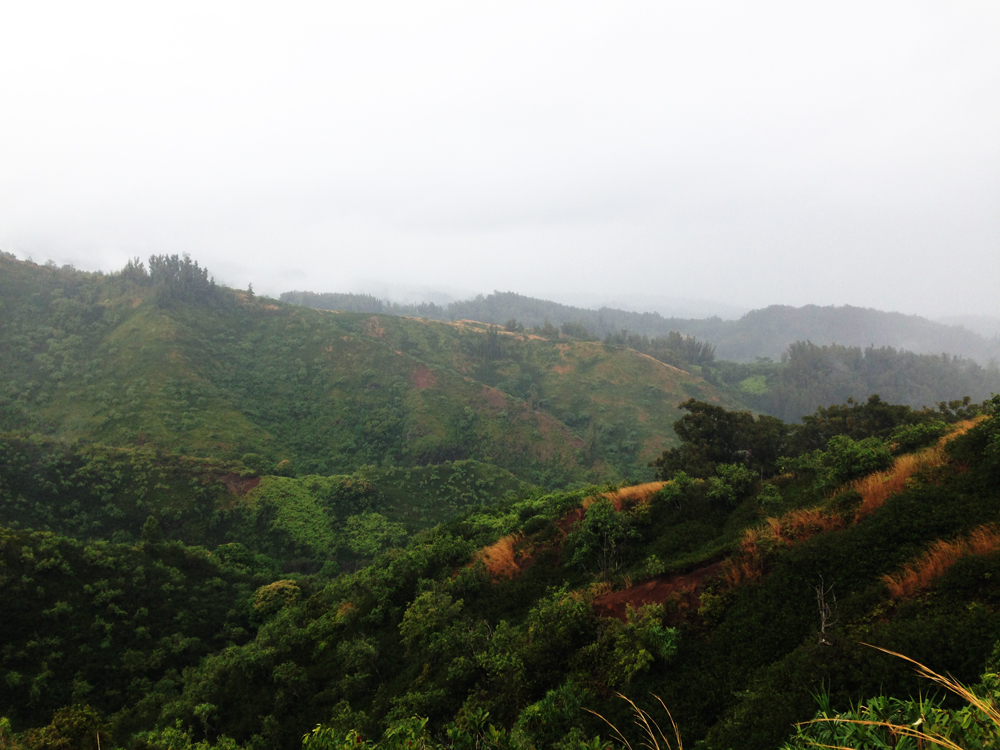
HONOLULU, Hawaii– More than a hundred researchers and watershed managers packed into rows of plastic chairs at the Hawaii Association of Watershed Partnerships conference last Thursday. If I was expecting a run-of-the-mill recounting of water quality tests, I was pleasantly surprised. Instead, the meeting was proof that water management is moving into the realm of smart phones, unmanned aerial vehicles (UAVs), and camera systems originally designed for the Mars rovers.
Protecting natural water systems in Hawaii is a bit different than on the mainland—primarily due to the islands’ steep, treacherous geography, the fragility of their native and endemic plants, and the influx of plant and animal invaders brought to their shores by waves of human settlers. Populations of feral pigs and goats have run rampant through the lush mountain valleys, trampling native vegetation that didn’t evolve to handle such disturbances and depositing opportunistic invasive plants at the same time. The result is vast swaths of degraded forest that can no longer trap and cycle water efficiently. To protect the islands’ water, managers must first protect the forests from these marauders.
It goes something like this: Build a fence to keep new pigs and goats from entering a forested watershed area. Eradicate the pigs and goats and invasive plants within the fenced area. Allow native vegetation to retake the lost territory.
Of course, that’s easier said than done in the aforementioned mountainous terrain that is often only accessible by helicopter, and one of the keys to accomplishing the process is being able to find and track the location of the problem plants and animals. This is where the new technology comes into play.
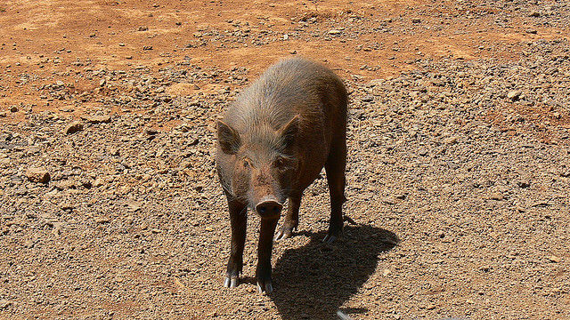
Advanced imaging technology—whether from satellites, high-resolution cameras, or aerial footage—can help managers identify clusters of invasive species, and sometimes individual plants, much more quickly and over a wider area than on-the-ground surveys. Tracking collars on tagged pigs tell researchers when the animals are active, and how they move through a watershed over time, which could help decision-makers install fences at the most effective locations. Innovations in data collection and management tools, such as smart phone and tablet applications that allow researchers to track which areas they have surveyed and upload data from the field, are also being used to make more efficient use of time and resources.
While the upfront costs for some of the equipment can be large (a UAV weighing less than half a kilogram can cost more than $10,000) the tools could help managers save money in the long-term. Moreover, the results of effective forest management are promising.
“In the Alaka’i [forest on Kaua’i], we have good documentation showing that after the pigs are taken out and the disturbance is halted, the native plants are coming back, and quite quickly too,” Trae Menard, coordinator of the Kaua’i Watershed Alliance and the director of forest conservation for the Nature Conservancy in Hawaii, told me. “What really determines the ability of a forest to rebound is how soon you get to it and get the animals out.”
–Codi Kozacek,
Circle of Blue Reporter
How are water managers protecting watersheds and water supplies in your area? Contact Codi Yeager
A news correspondent for Circle of Blue based out of Hawaii. She writes The Stream, Circle of Blue’s daily digest of international water news trends. Her interests include food security, ecology and the Great Lakes.
Contact Codi Kozacek






Leave a Reply
Want to join the discussion?Feel free to contribute!