Posts

Map: California’s Water Use Per County (1985-2005)
0 Comments
/
Click through the interactive Google Fusion Tables infographic to see how California’s water use has changed over the last two decades and how these trends relate to population demographics and water contamination.

New Era of Much Drier Conditions Forecast For California
Federal and state agencies, communities and businesses not positioned well enough to respond, says new Circle of Blue report.

Video: Water Crisis in California’s Central Valley from Photographer Matt Black
Water Crisis in California's Central Valley from Photographer Matt Black

The Law and The Fish
In the competition for water, fish are on the frontlines.
 https://www.circleofblue.org/wp-content/uploads/2014/01/cad2013110514233500526.jpg
667
1000
Jeremy Miller
https://www.circleofblue.org/wp-content/uploads/2018/06/Circle-of-Blue-Water-Speaks-600x139.png
Jeremy Miller2014-01-19 07:57:212015-12-11 14:35:06Getting Off the Pipe
Big Water Supply Project Creates Unease in Delta
Farms, Wildlife Preserves in the Tunnels’ Path.

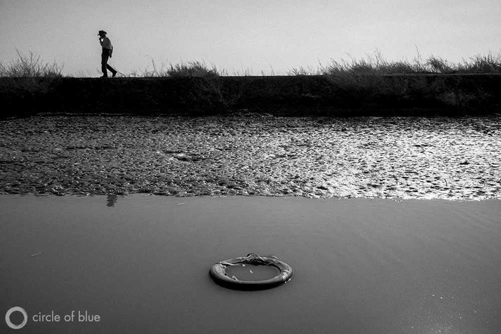
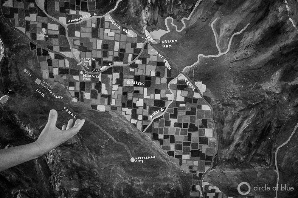
Photo Slideshow: California’s Lingering Drought and Pollution Defy Solutions
Less snowmelt from Sierra Nevada leads to more pumping of Central Valley’s contaminated groundwater.


